The Boundaries of Bow
How far do the boundaries of Bow extend? Standing in Hackney Wick a few days ago I realised that I didn’t know whether I was in Hackney or Tower Hamlets, so I decided to find out.
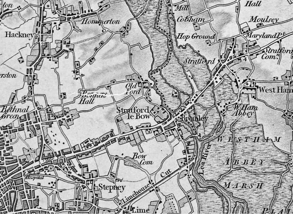
Click here for a map of Tower Hamlets Council wards. The six sections of Bow East and West are top right. Bow now includes the whole of Victoria Park. I seem to remember that at one time it was shared with Hackney, but maybe Hackney couldn’t pay the running costs. Please comment below if you know any more about this. The western edge of Bow runs along the Regent’s Canal at the back of Mile End Park. To the south the area runs along Bow Road. To the east the edge of Bow is marked by the River Lea, not the Lee Navigation. At Old Ford Locks, at the end of Dace Road, Fish Island, the edge of Bow splits off and runs along behind the London Stadium. Then it gets interesting because it includes a part of Carpenters Road, before heading west just below the Copper Box Arena and Hackney Wick Station. Then the boundary rejoins Victoria Park at Cadogan Gate.
To the east of the River Lea lies Newham. Head north of The Lord Napier and you are in Hackney.
Amazing History
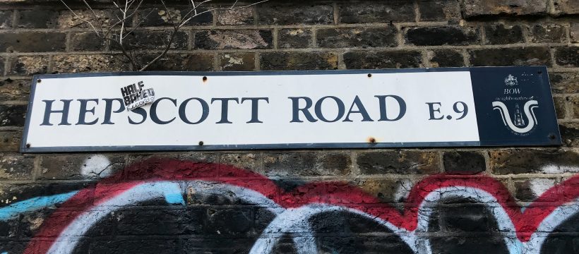
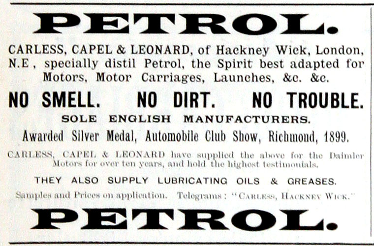
My photo above of the Hepscott Road sign says E9, but it is inside Bow. It’s opposite The Lord Napier. The history is everywhere out here. The brick wall behind the sign was built in 1891 following an explosion. This was the Hope Chemical Works, founded by Eugene Carless in 1859. Capel and Leonard joined in the 1870s and Leonard was soon the sole proprietor. They started importing American crude oil, which came in wooden barrels. They produced oil for lamps, benzine for drycleaning, and aniline for azo dyes – all of which were used locally. In 1893 they started to produce fuel for the new fangled internal combustion engines, which they called petrol. Until 1904 this was the only place in the country making petrol.
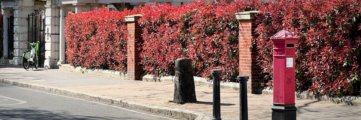
New Housing in Bow

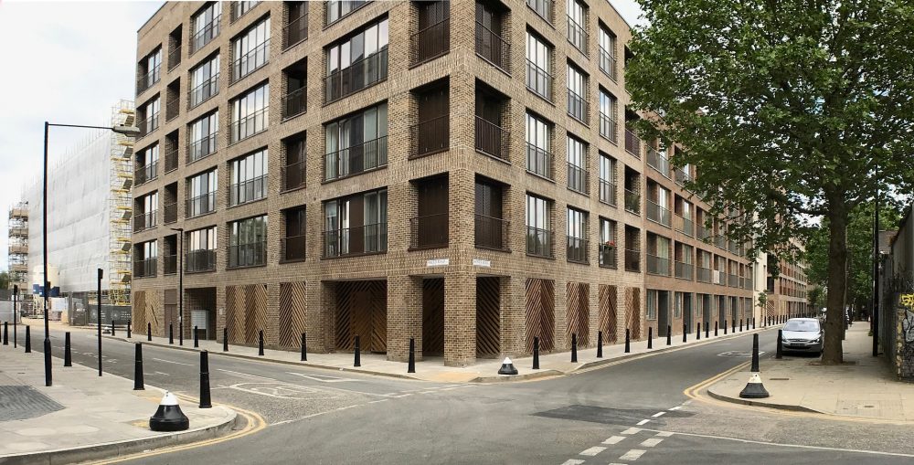
New flats are everywhere in the East End now. I took the photo above last week opposite Crown Close behind the Big Yellow.
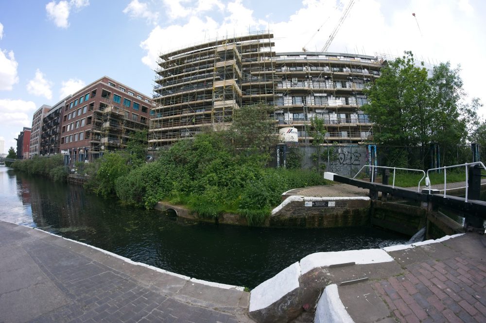
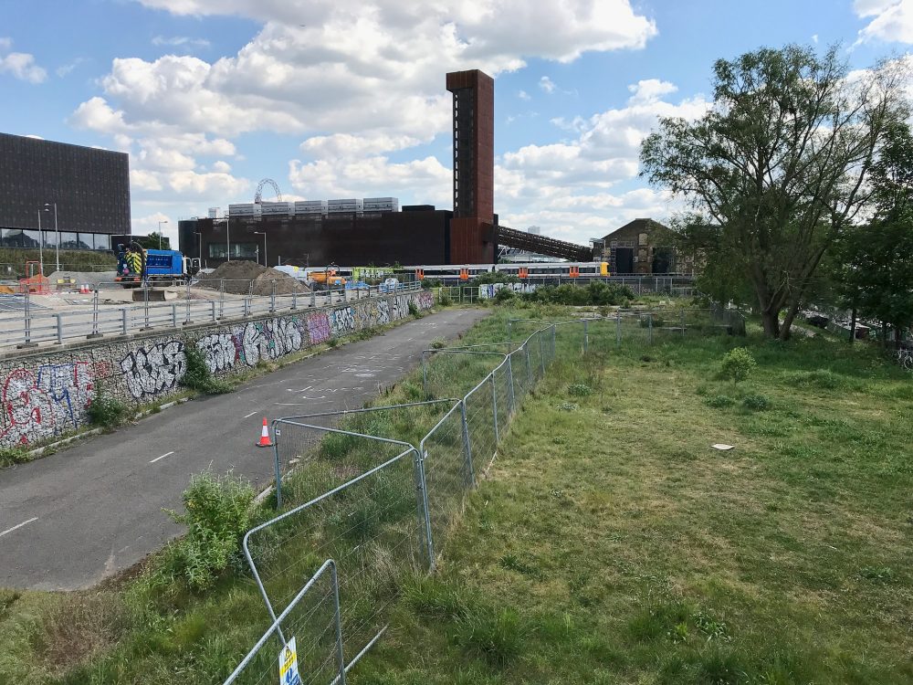
The three photos below were all taken of the half of Fish Island that is nearest to the Hertford Union.

Across the excellent Olympic Park from us, Stratford has been totally transformed. Who’d have thought that it would be the place to build luxury apartments?
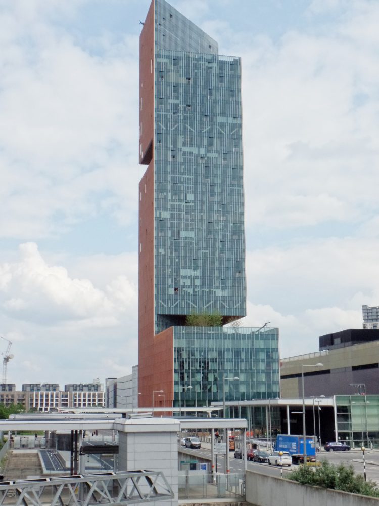
Manhattan Loft Gardens (above) say they reimagined the garden square and placed them at 95, 280 and 400 feet! The first seven stories comprises a 146 room hotel. Above that are 248 single and double-height loft apartments. See the website for images of what it will look like when finished. Here’s a new article about living in this area.
New Workspaces
Just outside of Bow a new development called Clarnico Quay is just starting. This will provide a cluster of workspaces for small businesses, artists and makers. See the visualisations on the Carl Turner Architects website.
Who Lives in Bow?
Bow has changed dramatically as thousands of younger people are moving in. Fortunately the transport network seems to be keeping up. I remember in the 1980s how dirty and infrequent the overground trains to Woolwich were. Trains from Hackney Wick are now one behind the other, like the underground. When I moved to Bow in 1985 not many people used to get off at Bow Road outside of the rush hour. Today, even late in the evening, lots of people get off and Tom Thumb’s Arch is quite busy.
The National Census is conducted every 10 years. It collects data to enable the government to plan and run local services. The aggregate results, by area, are available for others to use. The Census collects social and demographic data, including percentages for each type of educational attainment, and the types of careers people say they have. The next will be in 2021. This isn’t frequent enough to understand the transformation of the East End. Huge numbers of apartments have been built at Stratford, Bow, Canning Town, the Isle of Dogs – everywhere. The building work continues apace. I suspect that businesses such as supermarket groups are working with out of date statistics.
From what I can see, there is a huge influx of young, well qualified professionals. These are the new Eastenders. Shops and businesses will have to adapt and change to attract their trade.
Alan Tucker
Roy, thanks for taking the time to send us this clarification.
When I grew up in Roman Road (1950s), Bow was generally considered as being the E3 district with a few additions to the south. Say, Vicky Park and the Union Canal to the north. River Lea / Bow Creek to the east although including Three Mills Island. Regents Canal to the west.
It is the southern boundary which always proved more difficult. Without getting into complications, draw a line between Clemence Street and Zetland Street, both in E14. This line bisects the Limehouse Cut and can be considered (roughly) the southern boundary to Bow.
Vicky Park was considered to be ‘shared’ between Bow and Hackney with neither community having a full claim to the freehold. Bartlet Park and Crisp Street Market to the south were not in Bow but In Limehouse / Poplar.
They certainly are Kevan. Thanks very much for sending this to us.
Hello Alan,
I tend to use the early census to choose an area for a pub on my site, and I have a number of 1911 census walks for Bow, Bromley, Hackney etc which, sort of, give an idea of where the boundaries were originally.
Perhaps these are of interest to people.
https://pubshistory.com/London1911/index.shtml
Best,
Kevan